Current projects
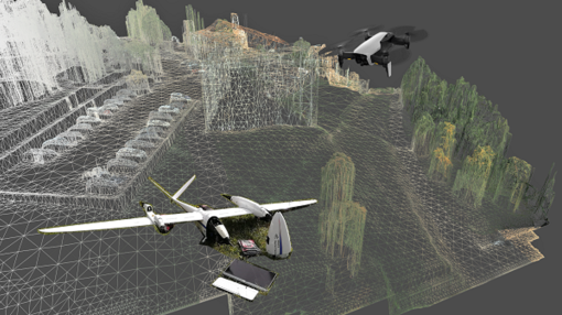
Real-Time 3D Semantic Mapping with UAV Images
Existing UAV tech struggles with real-time 3D mapping for disaster relief. We propose new algorithms to create these maps faster, combining photogrammetry and deep learning for better emergency response.
 Scan the QR code or